
Start Location: South Burlington, VT (Anchorage Inn)
Start Time: 06:00 (both rides)
Ride Leader: Sarah Bergstrom
Bike Lights & Reflective Gear: Recommended for 200k, Required for 300k
Distance: 300k (186.5 miles) or 200k (135 miles)
Time Limit: 13.5 Hours for 200k, 20 Hours for 300k
Controls: Rouses Point (both distances), Charlotte (200k), Port Henry (300k)
Sanctioning: RUSA & ACP
200k Cue Sheet: Lake_Champlain_200k
300k Cue Sheet: Lake_Champlain_300k
Cheat-Sheet of Controls and Services: ChamplainCheatsheet (print page 1 for 200k or page 2 for 300k)
Online Map/GPS Link for 300k: 300k
Online Map/GPS Link for 200k: 200k
Registration: BikeReg page
Riders must be New England Randonneurs members to ride. No day-of-event registration. To join (only $5), use this BikeReg page.
2019 Event Information: For 2019 Ride Leader Sarah Bergstrom is bringing back a classic loop of Lake Champlain. Originally one of the first Vermont brevets, this route has not been offered in many years. It will be similar but not the same as the original. Route is somewhat less hilly then most NER Vermont rides (4600′ on the 200k and 8100′ on the 300k). Two distance options to choose from.
The ferry on the 200k is $5.50 and is CASH ONLY. (The 300k has no ferry; you’ll be going all the way around the lake.)
The ride will start and finish in the parking lot of the Anchorage Inn in South Burlington, behind the hotel. (Finishers after dark or in poor weather should come inside the lobby.) Please do not park at the hotel unless you are staying there. Riders driving to the start have two options: 1) park in the shopping mall lot across the street, away from the stores, or 2) park 1.7 miles away in the Wheeler Lot, a city-owned lot used by a lot of bike clubs. Google map to Wheeler Lot. Avoid all of the smaller lots near the hotel; they are all clearly signed as patrons-only and no-overnight parking.
There will be about 7 miles of hard-packed, well-maintained dirt roads suitable for skinny tires on both routes, all of which riders will encounter during daylight.
Both routes follow long stretches of two well-designed bike routes — the Lake Champlain Bikeway, and New York Bike Route 9, and primarily hug the coast of the lake.
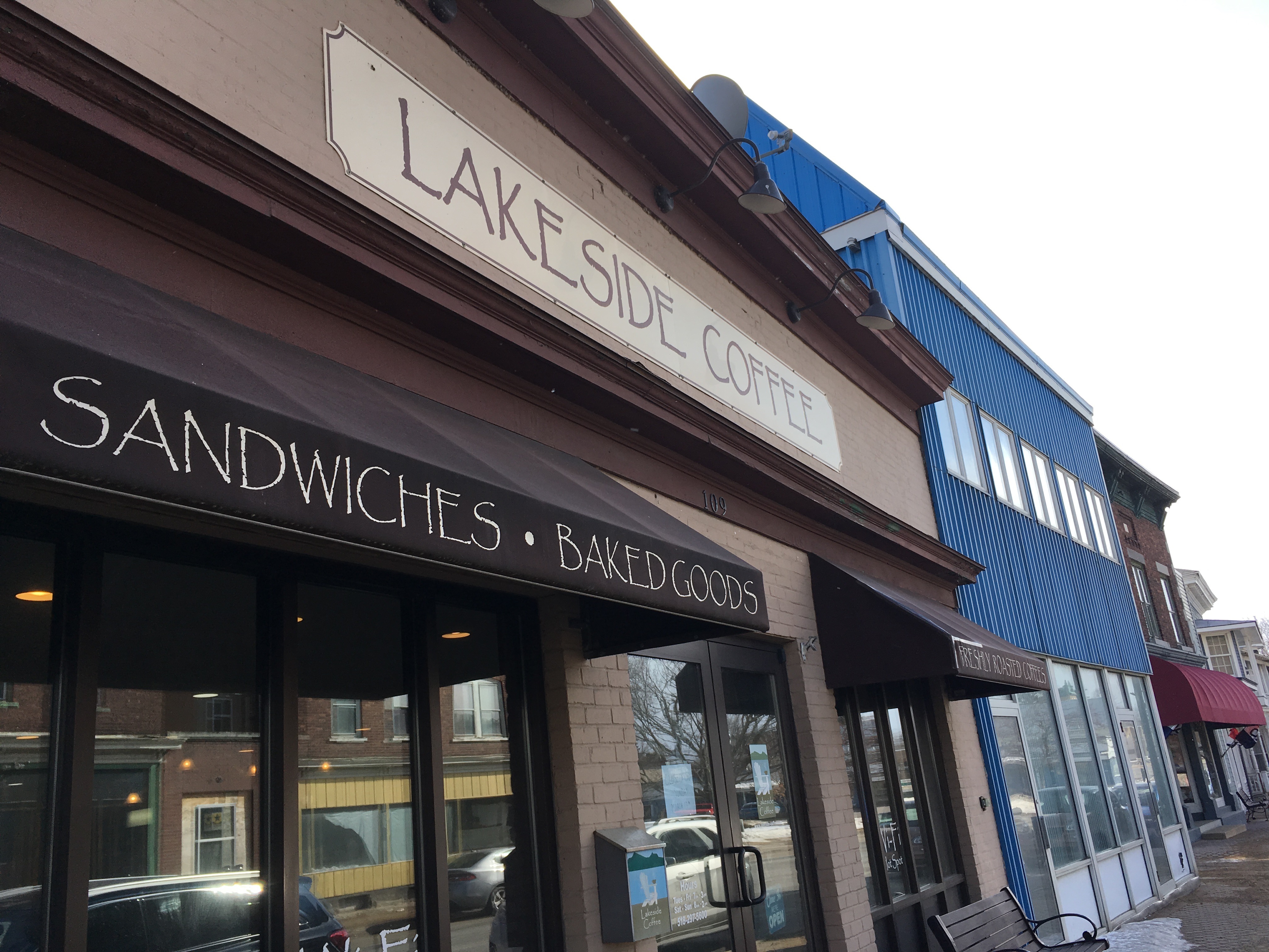
The rides begin by heading out of town along a few roads some riders might remember from the old Burlington-based Fall Classic, including our first dirt stretch on Poor Farm Rd. Then it’s onto US-2 to join up with the Champlain Bikeway and head out onto the islands. Both routes follows the bikeway onto smaller roads, and swing by the Hero’s Welcome General store for anyone who needs a second breakfast.
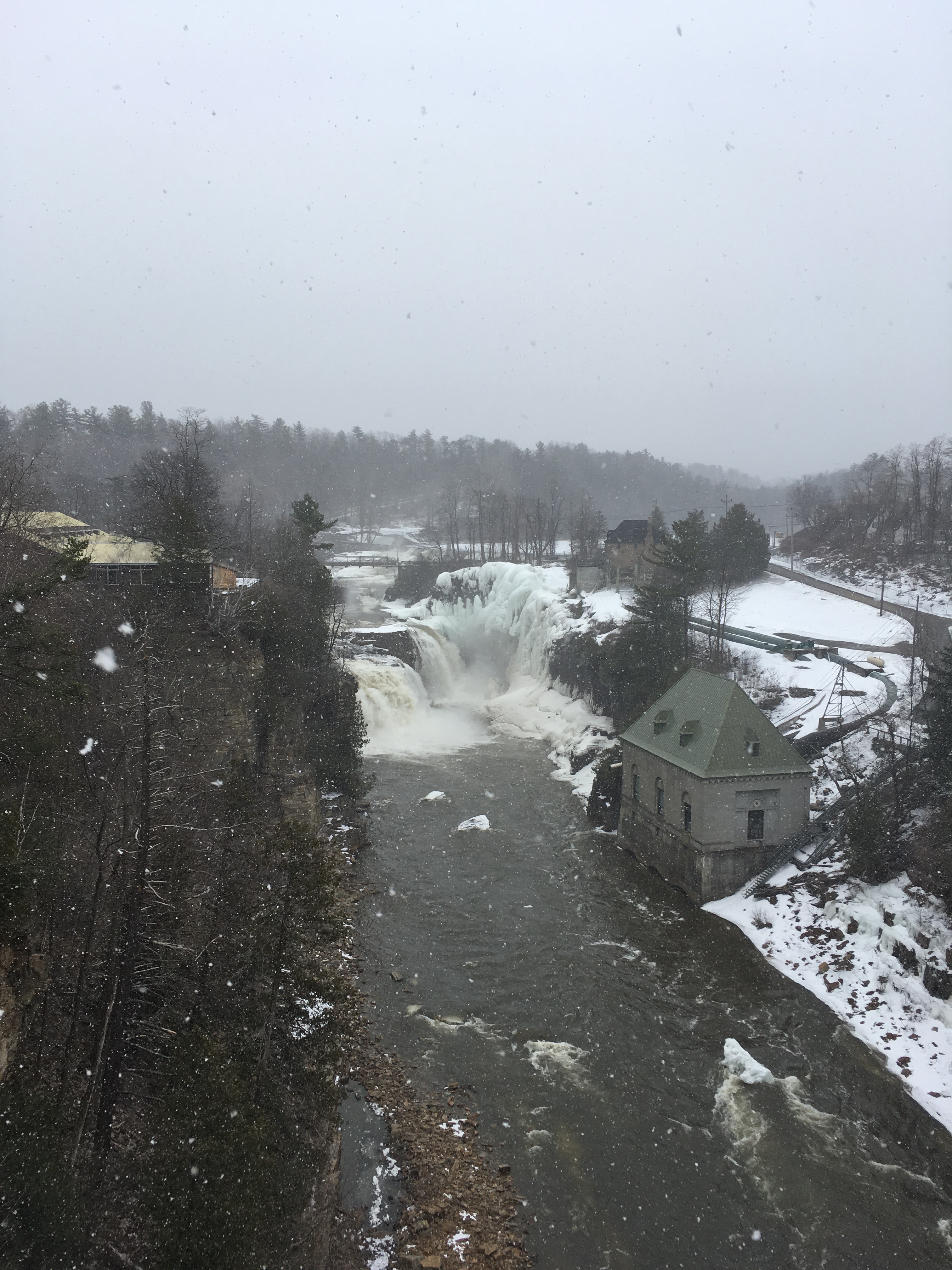
The big bridge into NY signals the turn southwards (the only thing to the north is the border crossing, and we’re not headed to Montreal today). A nice coffeeshop in Rouses Point is the first control for both routes, and then the road heads south. A new bike path in Plattsburgh avoids much of the congestion previous years faced, and then a few miles later the hills begin to loom on the horizon. The route climbs up alongside the Ausable River — the chasm is worth stopping at — the best view is from the elevated sidewalks along the bridge (please walk your bike if getting on the sidewalk). Then double-check you’re fueled up when you pass through Keenesville, because roller-coaster Highland Road is next. When you hit the dirt, you’re done with this climb; 200k riders can cruise down to the ferry, their second control. (The ferry comes every half-hour and takes approximately 15 minutes to cross.)
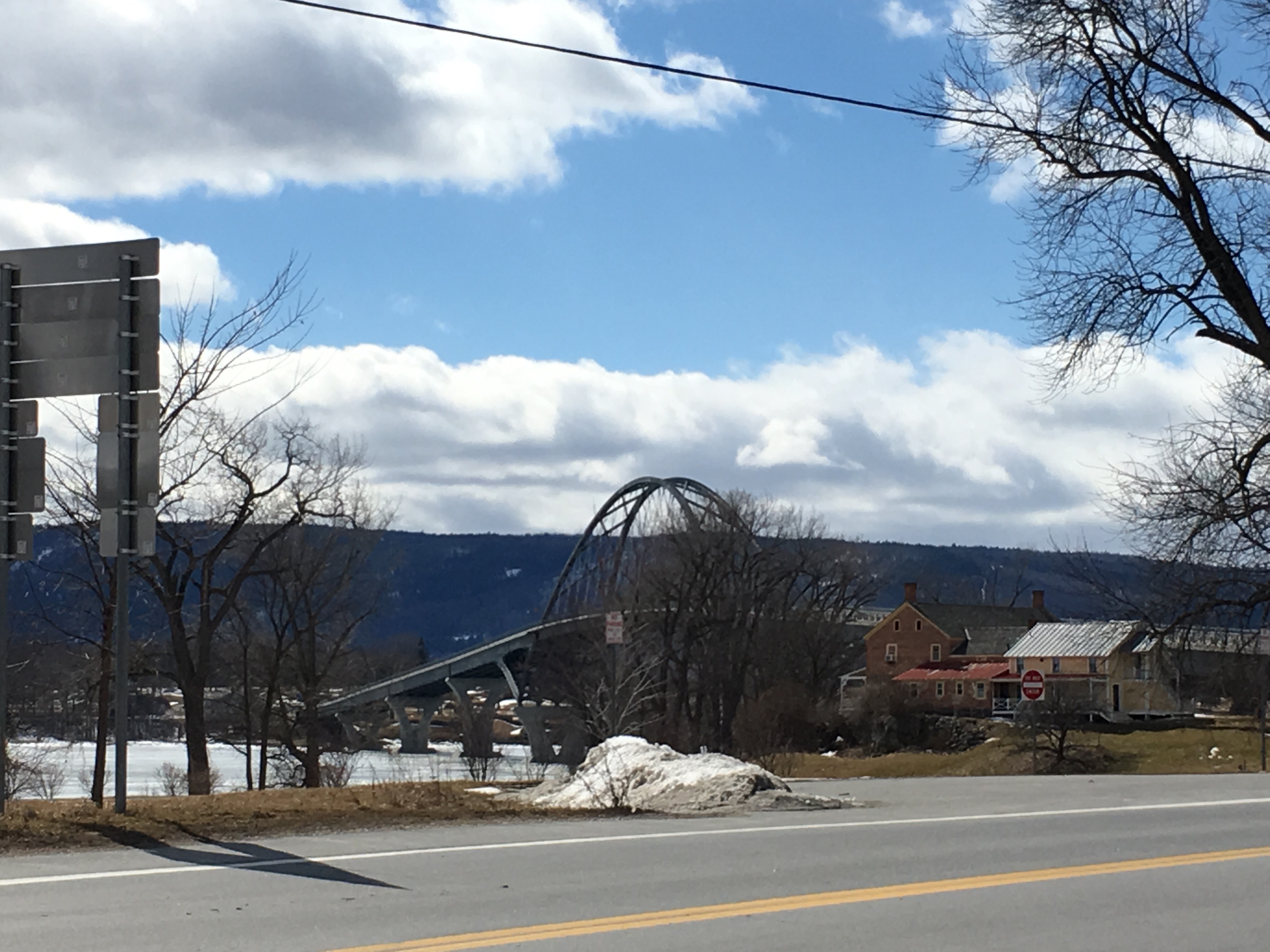
300k riders will say goodbye to 200k friends old and new at the docks; they’re not quite done flirting with the Adirondacks, and there’s more lake to get around. The second 300k control is a gas station in Port Henry. Then it’s over the bridge into VT (the bridge was rebuilt several years ago and now has a large, clear shoulder), and back to the Champlain Bikeway until we cut inland for one last small climb on the way back to the hotel.
photos:


And some of original route designer Mike Beganyi’s photos from the past runs:

Rolling out across the islands!

When you cross this bridge, the climbs begin!

200k riders will take the ferry across the lake for a breather.